Methodology
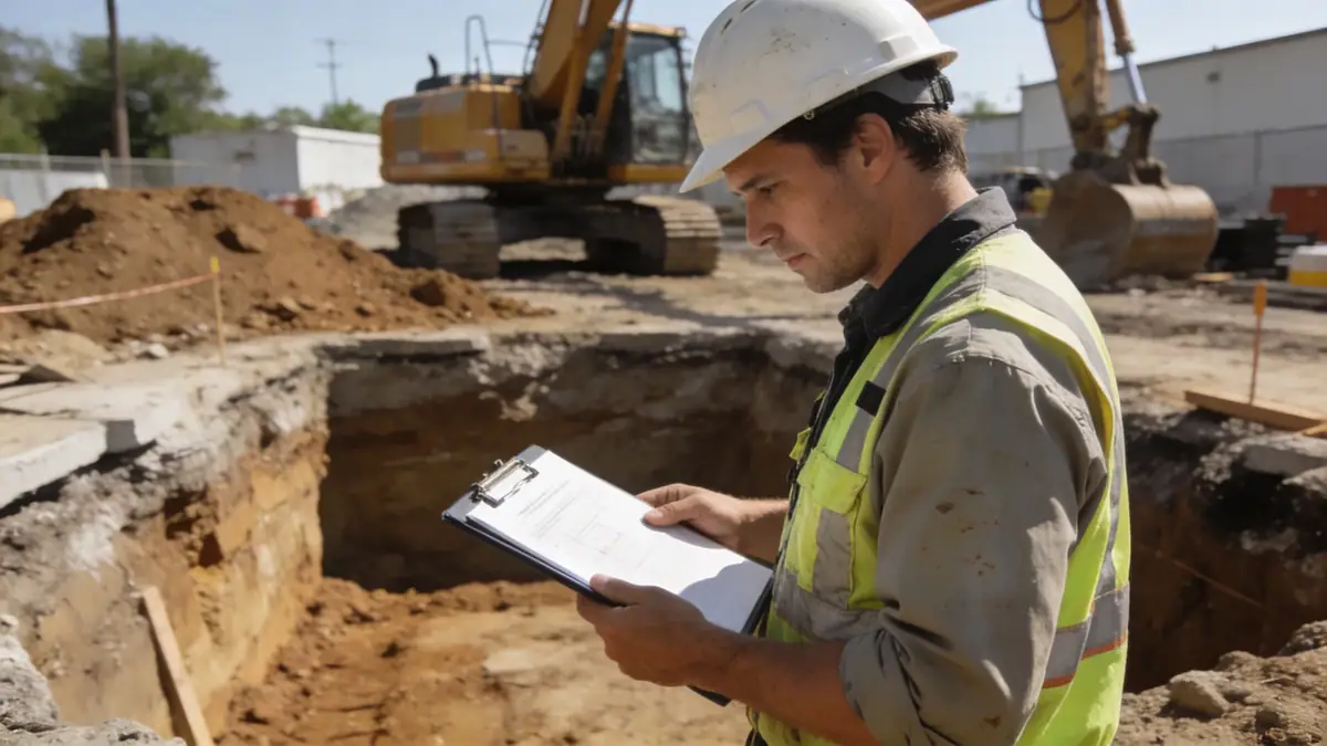
Our approach to geotechnical engineering in Whangarei follows a systematic methodology aligned with NZS 4402 and ASTM D1586 for standard penetration testing. We begin with a desktop study of available geological maps and previous site records. Field investigations include spt boring to assess soil strength and stratification, typically advanced to depths of 8–15 m for residential projects and up to 30 m for commercial structures. Soil samples are retrieved for laboratory classification, including moisture content, Atterberg limits, and particle size distribution. Groundwater levels are monitored via standpipes. This data informs our geotechnical design parameters for foundations, retaining walls, and slope stability analyses.
Reference Technical Parameters
| Parameter | Reference Value |
|---|---|
| Predominant soil type | Alluvial silt, clay, and volcanic ash |
| Maximum seismic acceleration (PGA) | 0.26 g (for ultimate limit state, NZS 1170.5) |
| Typical groundwater level | 2–5 m below ground surface |
| Bedrock depth | 10–25 m (greywacke or basalt) |
| Typical N60 range (SPT) | 5–30 blows per 300 mm |
Local Considerations — Whangarei
Whangarei's geology is dominated by alluvial deposits from the Hātea River and volcanic formations from the Whangarei volcanic field. The city is located in Seismic Zone 2 per NZS 1170.5, with a peak ground acceleration of 0.26 g. Groundwater is typically shallow (2–5 m) in low-lying areas like the CBD and Raumanga, while elevated suburbs such as Maunu and Tikipunga have deeper water tables and weathered greywacke bedrock. Common geotechnical issues include soft compressible clays in the valley floors and liquefaction potential in loose sands near the harbour. Our firm has extensive experience in these conditions, having completed numerous projects across Whangarei. For regional context, we coordinate with our team at geotechnical engineering en Auckland to maintain consistency across the upper North Island.
Request a Quote
Our team reviews your project and issues an initial report at no cost.
Or write us directly at [email protected]
Services in Whangarei
Applicable Standards
- NZS 4402:1986 (Methods of testing soils for civil engineering purposes)
- NZS 1170.5:2004 (Structural design actions – Earthquake actions)
- ASTM D1586 (Standard test method for penetration test and split-barrel sampling of soils)
- BS 5930:2015 (Code of practice for ground investigations)
Frequently Asked Questions
What are the typical soil conditions in Whangarei for construction?
Whangarei soils vary widely: alluvial silts and clays in the valley floors, volcanic ash on the hillsides, and weathered greywacke at depth. Soft clays may require deep foundations, while volcanic soils often have good bearing capacity but can be collapsible. A site-specific geotechnical investigation is essential.
Is a geotechnical investigation mandatory for building in Whangarei?
While not always legally required for minor residential work, most local councils and engineers recommend a geotechnical report for any significant development. For sites with known soft soils, steep slopes, or high seismic risk, it is essential to ensure compliance with the Building Code.
How does seismic activity affect geotechnical design in Whangarei?
Whangarei lies in Seismic Zone 2 with a PGA of 0.26 g. Soil liquefaction potential in alluvial and coastal areas must be assessed. Our designs follow NZS 1170.5 and consider site subsoil class (typically C or D) to determine appropriate foundation systems and ground improvement if needed.