Methodology
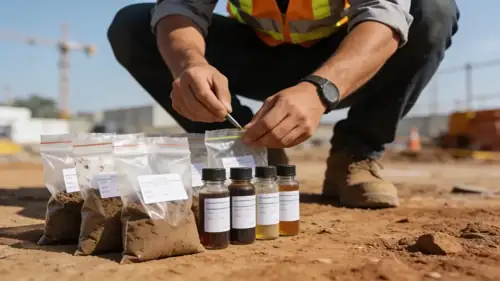
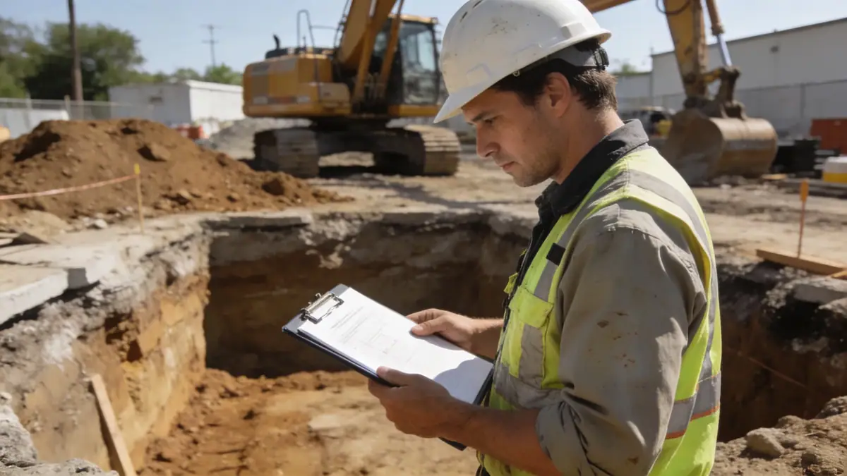
Our methodology for Christchurch projects begins with a comprehensive desk study of historical seismic data, geological maps, and previous site investigations. We then deploy field programs including spt boring to characterize subsurface stratigraphy and assess liquefaction potential. Sampling intervals follow ASTM D1586, typically at 1.5 m depth increments. In-situ testing is complemented by advanced laboratory analyses to determine shear strength, consolidation behavior, and particle size distribution. All data are integrated into a site-specific geotechnical model, which informs foundation design, slope stability assessments, and ground improvement recommendations. Our approach prioritizes accuracy and repeatability, adhering to New Zealand standards and local council requirements.
Reference Technical Parameters
| Parameter | Reference Value |
|---|---|
| Predominant soil type | Alluvial gravels, sands, silts, and peat; loess on Port Hills |
| Maximum seismic acceleration (PGA) | 0.4 g (Ultimate Limit State, per NZS 1170.5) |
| Typical groundwater level | 1–5 m below ground surface (variable seasonally) |
| Bedrock depth | Variable: 0–50 m (shallow in Port Hills, deep in plains) |
| Typical N60 range (SPT) | 5–30 blows/300 mm in sands; >50 in gravels |
Local Considerations — Christchurch
Christchurch’s geology is dominated by alluvial deposits from the Waimakariri River, with loose sands and silts prone to liquefaction during seismic events. The 2010–2011 Canterbury earthquake sequence highlighted the need for rigorous site-specific assessments. Groundwater levels are shallow (1–5 m), requiring careful dewatering and drainage design. In the Port Hills, loess and basalt bedrock present slope stability challenges. The Christchurch City Council enforces the Canterbury Earthquake Recovery Authority (CERA) guidelines, often mandating slope stability analysis for hillside developments. Our firm integrates these local factors into every investigation, providing reliable data for foundation and earthworks design.
Request a Quote
Our team reviews your project and issues an initial report at no cost.
Or write us directly at [email protected]
Services in Christchurch
Applicable Standards
- NZS 1170.5:2004 – Structural Design Actions (Earthquake)
- NZS 4404:2010 – Land Development and Subdivision Infrastructure
- NZS 3604:2011 – Timber-framed Buildings (for residential foundations)
- ASTM D1586 – Standard Test Method for Standard Penetration Test (SPT)
- Eurocode 7 (adopted as NZS 1170.0) – Geotechnical design
Frequently Asked Questions
What soil types are common in Christchurch?
Christchurch soils are primarily alluvial: gravels, sands, silts, and peat deposits from the Waimakariri River. The Port Hills feature loess and basalt. Post-earthquake, liquefaction-prone loose sands are a key concern, requiring detailed SPT and CPT testing.
Are geotechnical investigations mandatory for building in Christchurch?
Yes, for most new buildings and major alterations, especially in areas affected by the Canterbury earthquakes. The Christchurch City Council requires site-specific geotechnical reports to assess liquefaction, settlement, and foundation bearing capacity under NZS 1170.5.
How does the Christchurch seismic zone affect foundation design?
Christchurch is in a high seismic zone with PGA up to 0.4g. Foundations must resist liquefaction-induced settlement and lateral spreading. Engineers often use deep piles or ground improvement (e.g., stone columns) to mitigate risks. Our laboratory testing supports these designs.