Methodology
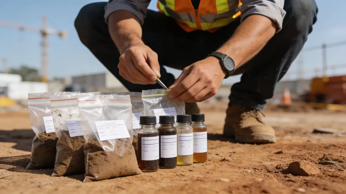
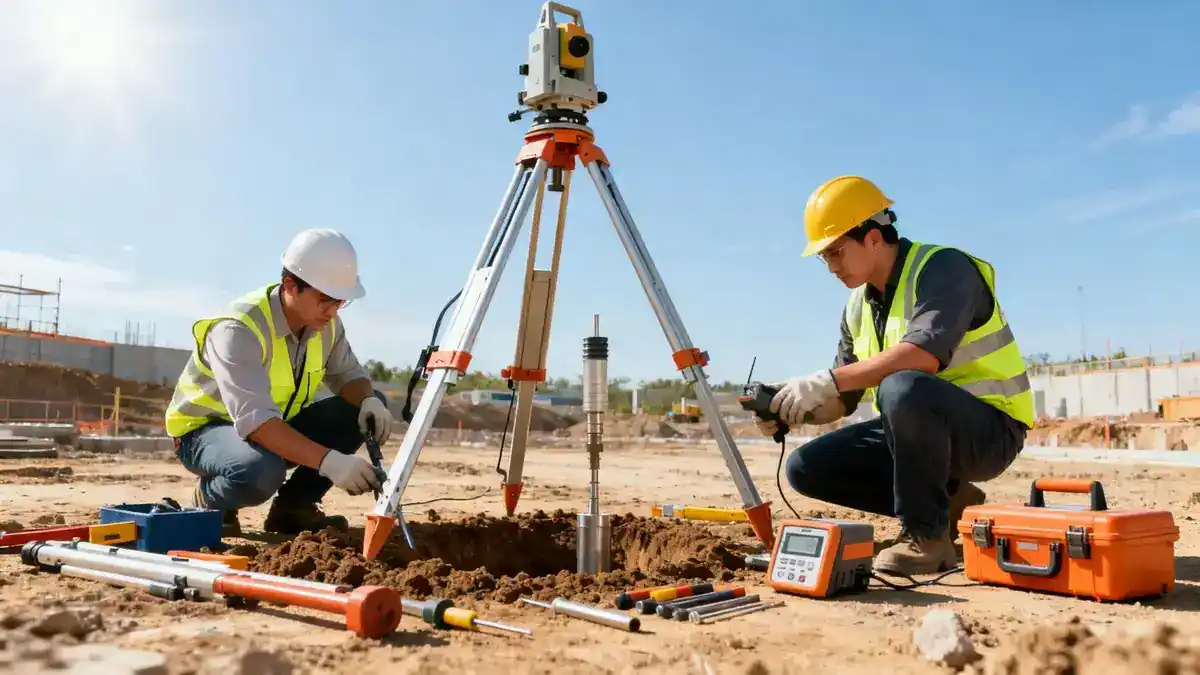
Our methodology for geotechnical engineering in Whanganui follows a systematic approach that integrates field investigation, laboratory testing, and analytical modeling. We begin with a thorough desk study of existing geological maps and records, followed by targeted field programs. For subsurface exploration, we often employ spt boring to obtain disturbed and undisturbed samples, with standard penetration tests conducted at 1.5 m intervals in accordance with ASTM D1586. Soil classification and strength parameters are then determined in our soil mechanics laboratory, using procedures such as sieve analysis (ASTM D6913) and Atterberg limits. The data informs site-specific recommendations for foundation design, slope stability, and earthworks, ensuring compliance with New Zealand standards.
Reference Technical Parameters
| Parameter | Reference Value |
|---|---|
| Predominant soil type | Alluvial sands, silts, and gravels with peat layers |
| Maximum seismic acceleration (PGA) | 0.40 g (for 500-year return period, per NZS 1170.5) |
| Typical groundwater level | 1.5–3.0 m below ground surface |
| Bedrock depth | Variable; typically 10–30 m (greywacke/sandstone) |
| Typical N60 range | 5–30 blows/300 mm (sands); 10–50 blows/300 mm (gravels) |
Local Considerations — Whanganui
Whanganui's subsurface conditions are dominated by alluvial deposits from the Whanganui River, with interbedded sands, silts, gravels, and occasional peat. The shallow groundwater table, often within 2 m of the surface, poses challenges for excavation and foundation drainage. Seismically, the region is classified as high hazard, requiring robust site response analyses per NZS 1170.5. Local variations exist between the river terraces and hill slopes; for example, the eastern suburbs typically have deeper bedrock, while coastal areas may encounter liquefiable sands. Our team regularly addresses these factors in projects, integrating slope stability assessments for hillside developments. For broader context, our geotechnical engineering en Wellington hub provides additional regional insights.
Request a Quote
Our team reviews your project and issues an initial report at no cost.
Or write us directly at [email protected]
Services in Whanganui
Applicable Standards
- NZS 1170.5: Structural Design Actions – Earthquake Actions
- NZS 3604: Timber-framed Buildings
- ASTM D1586: Standard Test Method for Penetration Test and Split-Barrel Sampling of Soils
- NZS 4431: Code of Practice for Earth Fill
Frequently Asked Questions
What types of soil are commonly found in Whanganui?
Whanganui's geology is dominated by alluvial deposits from the Whanganui River, including sands, silts, gravels, and occasional peat layers. These materials vary laterally and with depth, requiring careful site-specific investigation for any construction project.
Is a geotechnical investigation required for building in Whanganui?
Yes, under the New Zealand Building Code, all residential and commercial developments must have a geotechnical assessment to verify ground bearing capacity, liquefaction potential, and seismic stability. Local councils often require a detailed report for consent applications.
How does seismic activity affect geotechnical design in Whanganui?
Whanganui is in a high seismic zone, with a peak ground acceleration of 0.40 g for a 500-year return period. This necessitates site-specific response spectra, liquefaction assessments for saturated sands, and foundation designs that accommodate potential ground deformation.