Methodology
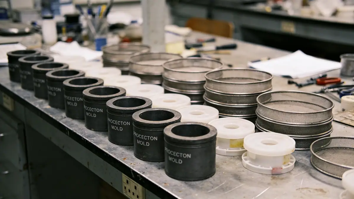
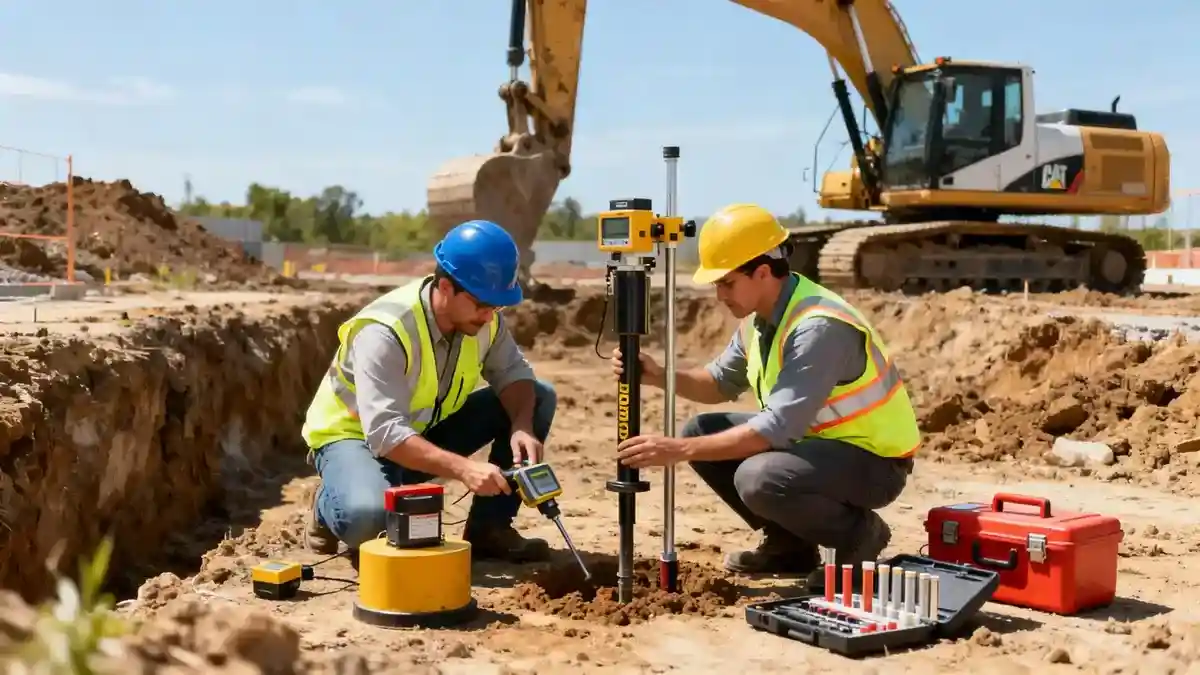
Our approach to geotechnical engineering in Upper Hutt integrates field investigation and laboratory testing under strict quality control. We begin with a thorough desk study of geological maps and historical data, followed by targeted exploration using methods such as spt boring to obtain disturbed and undisturbed samples. In situ testing includes standard penetration tests (SPT) per ASTM D1586, with typical sampling intervals of 1.0 to 1.5 meters. For soft or variable soils, we may deploy cone penetration testing (CPT) for continuous profiling. All samples are analyzed in our soil mechanics laboratory for index properties, strength, and consolidation behavior. This systematic methodology allows us to develop a robust geotechnical model that informs safe and economical foundation solutions for Upper Hutt projects.
Reference Technical Parameters
| Parameter | Reference Value |
|---|---|
| Predominant soil type | Alluvial gravels, sands, silts, and clays |
| Maximum seismic acceleration (PGA) | 0.4g (design level, per NZS 1170.5) |
| Typical groundwater level | 2–5 m below ground surface (variable) |
| Bedrock depth | 10–30 m (greywacke basement) |
| Typical N60 range | 10–40 blows/0.3 m (gravels and sands) |
Local Considerations — Upper Hutt
Upper Hutt's geology is dominated by Quaternary alluvial deposits from the Hutt River, with interbedded gravels, sands, silts, and clays. Groundwater levels fluctuate seasonally but are typically shallow, affecting excavation and foundation design. Seismic hazards are significant due to proximity to the Wellington Fault, requiring site-specific response analysis per NZS 1170.5. Soil liquefaction potential exists in loose saturated sands, necessitating careful evaluation for critical structures. Our team integrates these factors into practical recommendations, leveraging our experience from the broader Wellington region. For regional context, see our geotechnical engineering in Wellington hub.
Request a Quote
Our team reviews your project and issues an initial report at no cost.
Or write us directly at [email protected]
Services in Upper Hutt
Applicable Standards
- NZS 1170.5:2004 Structural Design Actions – Earthquake actions
- NZS 3604:2011 Timber-framed buildings
- ASTM D1586 Standard Test Method for SPT
- NZS 4431:1989 Code of practice for earth fill
Frequently Asked Questions
What soil types are commonly found in Upper Hutt?
Upper Hutt is underlain by alluvial deposits from the Hutt River, consisting of interbedded gravels, sands, silts, and clays. These soils vary laterally and vertically, requiring careful subsurface investigation to characterize their engineering properties.
How does seismic risk affect geotechnical design in Upper Hutt?
Upper Hutt is in a high seismic zone due to the nearby Wellington Fault. Design must account for peak ground accelerations up to 0.4g, liquefaction potential in loose saturated sands, and fault rupture hazards. Site-specific seismic assessments are essential per NZS 1170.5.
Are geotechnical investigations mandatory for construction in Upper Hutt?
Yes, for most commercial and multi-storey residential projects, a geotechnical investigation is required under the New Zealand Building Code to verify ground conditions and confirm foundation design assumptions. Local councils may also require reports for subdivision or retaining walls.