Methodology
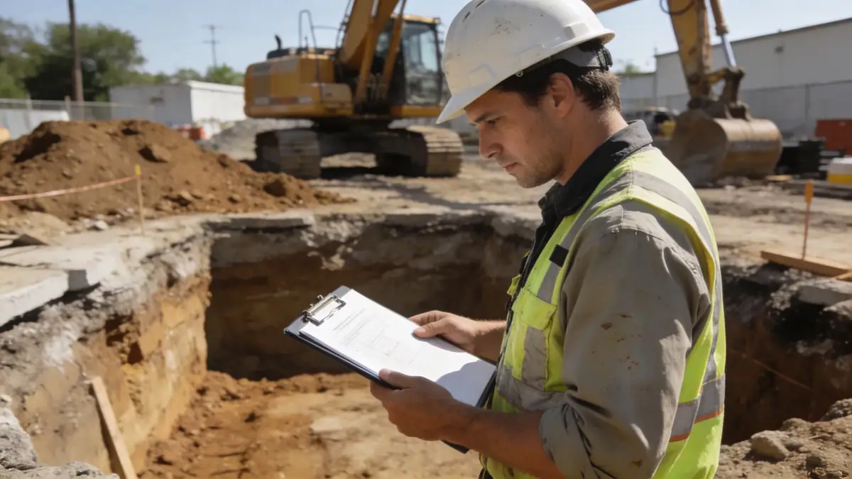
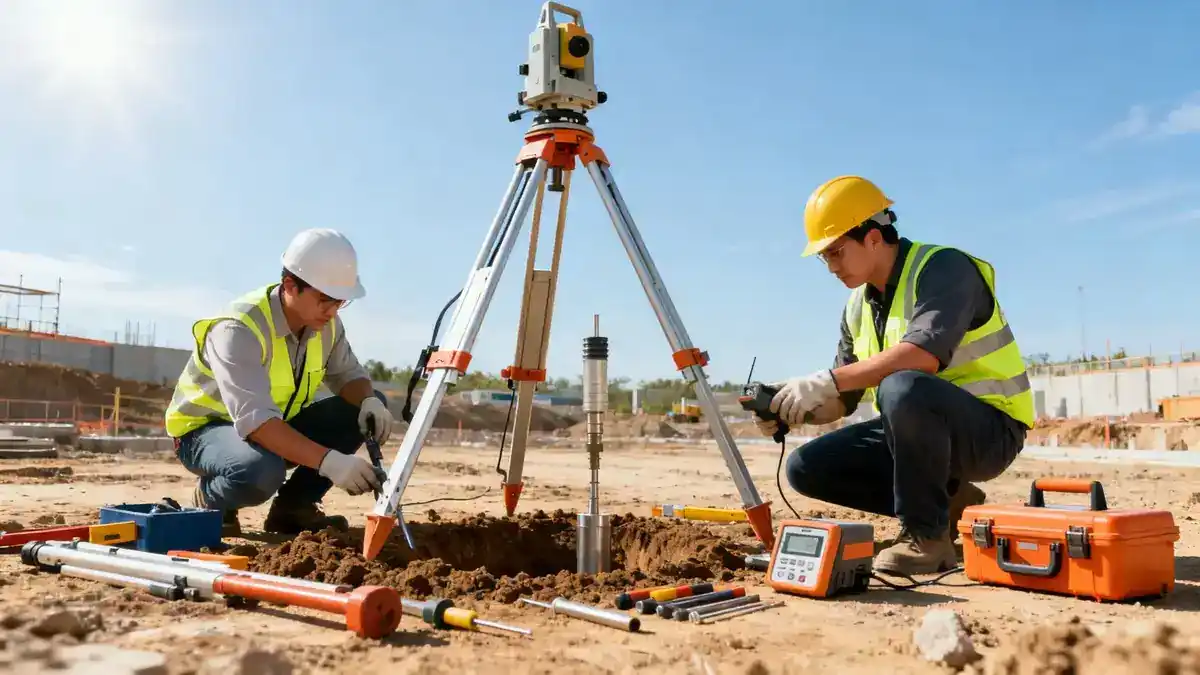
Our methodology for projects in Tauranga follows a phased approach aligned with NZS 1170.5 and Eurocode 7 principles. Initial desk studies review geological maps and historical data, followed by targeted fieldwork including spt boring to assess soil strength and stratigraphy. We employ cone penetration tests (CPT) for continuous profiling in soft sediments, and install piezometers to monitor groundwater levels. Laboratory testing—such as Atterberg limits and direct shear—characterises soil behaviour under seismic loading. All data is synthesised into a geotechnical model that informs foundation recommendations, liquefaction hazard analysis, and settlement predictions, calibrated to Tauranga's specific conditions.
Reference Technical Parameters
| Parameter | Reference Value |
|---|---|
| Predominant soil type | Alluvial silty sands and volcanic ash (Te Puke tephra) |
| Maximum seismic acceleration (PGA) | 0.42 g (NZ 1170.5, 500-year return period) |
| Typical groundwater level | 1.5–3.0 m below ground surface in coastal areas |
| Bedrock depth | 10–30 m (ignimbrite and andesite basement) |
| Typical N60 range | 8–25 blows/300 mm in alluvial deposits |
Local Considerations — Tauranga
Tauranga sits on the Tauranga Volcanic Centre, with soils dominated by alluvial sediments, pumiceous sands, and peat in low-lying areas. The region is classified as high seismicity (Zone 2 per NZS 1170.5), with peak ground accelerations up to 0.42 g. Liquefaction potential is significant in the harbour margins and Tauriko flats, requiring detailed assessment per MBIE guidelines. Groundwater levels are shallow (1–3 m) near the coast, complicating excavation and foundation design. Our team is experienced in these conditions, having completed numerous projects across the city. For broader capabilities, see our geotechnical engineering in Auckland hub. We also apply slope stability analysis to the Kaimai Range foothills.
Request a Quote
Our team reviews your project and issues an initial report at no cost.
Or write us directly at [email protected]
Services in Tauranga
Applicable Standards
- NZS 1170.5:2004 (Structural design actions – Earthquake actions)
- NZS 3604:2011 (Timber-framed buildings – foundation requirements)
- NZGS 2016 (Guideline for the identification and assessment of liquefiable soils)
- Eurocode 7 (EN 1997-1:2004) – applied for retaining wall and slope design
Frequently Asked Questions
What are the typical soil conditions in Tauranga?
Tauranga's soils are predominantly alluvial silty sands, pumiceous sands, and peat deposits, underlain by volcanic ignimbrite and andesite bedrock. Groundwater is shallow in coastal areas, and liquefaction-prone zones exist near the harbour.
Do I need a geotechnical investigation for a residential build in Tauranga?
Yes, Tauranga City Council requires geotechnical reports for most new builds, especially in liquefaction-prone areas. Our investigations verify bearing capacity, settlement, and seismic compliance per NZS 3604.
What seismic design factors apply in Tauranga?
Tauranga is in seismic Zone 2 with a peak ground acceleration of 0.42 g for the 500-year return period. Site-specific response spectra and liquefaction assessments are often required for commercial projects.