
Methodology
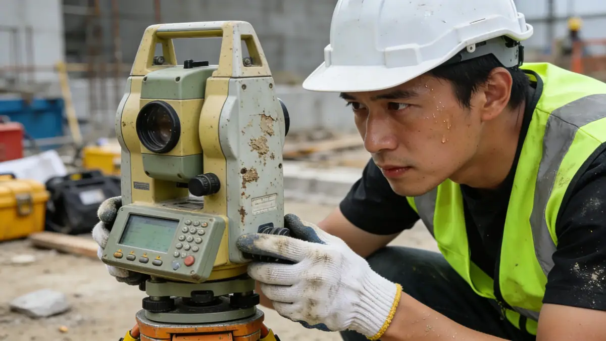
Our approach to geotechnical engineering in Napier integrates field investigations, laboratory testing, and advanced analysis. We conduct spt boring in accordance with ASTM D1586 to recover disturbed samples and measure N-values, typically at 1.0–1.5 metre intervals to depths ranging from 8 to 30 metres depending on project scale. In cohesive soils, we employ thin-walled tube sampling for undisturbed specimens. All samples are subsequently examined in our soil mechanics laboratory to determine index properties, strength parameters, and consolidation characteristics. This systematic methodology provides a robust basis for foundation design, slope stability assessments, and retaining wall solutions specific to Napier's geological conditions.
Reference Technical Parameters
| Parameter | Reference Value |
|---|---|
| Predominant soil type | Alluvial sands, silts, and gravels overlying marine sediments and volcanic ash |
| Maximum seismic acceleration (PGA) | 0.4 g (typical for NZS 1170.5 seismic zone factor Z=0.4) |
| Typical groundwater level | 1.5–4.0 metres below ground surface, seasonally variable |
| Bedrock depth | Variable, often 10–30 metres; shallow in hill suburbs (e.g., Bluff Hill) |
| Typical N60 range (SPT) | 5–30 blows/300mm in alluvial soils; up to 50+ in dense gravels |
Local Considerations — Napier
Napier's geotechnical landscape is heavily influenced by its location on the Hastings–Napier alluvial plain, underlain by the Hawke's Bay basin. The 1931 earthquake caused widespread liquefaction and lateral spreading, making seismic hazard mitigation a priority. Subsurface conditions vary significantly between the inner harbour (soft estuarine deposits) and hill suburbs (weathered mudstone/sandstone). Typical projects require careful assessment of liquefaction potential, bearing capacity, and settlement. Our team in Napier also coordinates with the soil mechanics laboratory to deliver site-specific parameters. For clients needing regional expertise, we also provide geotechnical engineering en Wellington, adapting our methods to the capital's unique geology.
Request a Quote
Our team reviews your project and issues an initial report at no cost.
Or write us directly at [email protected]
Services in Napier
Applicable Standards
- NZS 1170.5:2004 – Structural Design Actions, Part 5: Earthquake actions
- ASTM D1586 – Standard Test Method for Standard Penetration Test (SPT)
- NZS 4402 – Methods of Testing Soils for Civil Engineering Purposes
- Eurocode 7 – Geotechnical Design (adopted as NZS guidelines)
Frequently Asked Questions
What types of soil are commonly found in Napier?
Napier's soils are predominantly Holocene alluvial deposits consisting of sands, silts, and gravels, often interbedded with marine sediments and volcanic ash layers. In hill suburbs, weathered Tertiary mudstone and sandstone are encountered. These variations require site-specific investigation to characterise strength and liquefaction potential.
Why is seismic design critical for geotechnical engineering in Napier?
Napier is in a high seismic zone (Z=0.4 per NZS 1170.5) and experienced catastrophic liquefaction during the 1931 Hawke's Bay earthquake. Geotechnical investigations must evaluate liquefaction susceptibility, lateral spread, and bearing capacity under cyclic loading to ensure foundations perform safely during future earthquakes.
Are geotechnical investigations mandatory for building projects in Napier?
Yes, the New Zealand Building Code (NZBC) Clause B1 Structure and B2 Durability requires sufficient geotechnical information to demonstrate compliance. For most developments, a site investigation report is mandatory, especially in areas prone to liquefaction or slope instability, as identified in the Hawke's Bay Regional Council guidelines.