Methodology

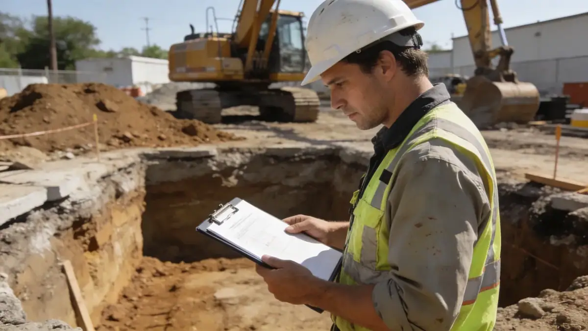
Our methodology for geotechnical engineering in Hastings integrates site investigation, laboratory testing, and advanced analysis. We commence with a desktop study of geological maps and previous site data, followed by a field investigation program that typically includes spt boring to obtain disturbed and undisturbed samples, as well as cone penetration testing (CPT) for continuous stratigraphic profiling. In-situ tests such as shear wave velocity measurements are employed to assess seismic site class per NZS 1170.5. Laboratory testing on recovered samples determines index properties, strength parameters, and consolidation characteristics. All work is conducted in accordance with relevant standards, including ASTM D1586 for SPT and NZS 4407 for soil testing.
Reference Technical Parameters
| Parameter | Reference Value |
|---|---|
| Predominant soil type | Alluvial silty sands and gravels with interbedded clays |
| Maximum seismic acceleration (PGA) | 0.40g for ultimate limit state (NZS 1170.5) |
| Typical groundwater level | 1.5–4.0 m below ground surface |
| Bedrock depth | Variable; typically 15–40 m (greywacke) |
| Typical N60 range | 5–30 blows/300 mm in sands; 2–10 in clays |
Local Considerations — Hastings
Hastings is underlain by the Heretaunga Plains alluvial sequence, with shallow groundwater, liquefiable sands, and soft clays. Seismic site class is typically D or E per NZS 1170.5. The region has experienced damaging earthquakes (e.g., 1931 Napier, 2011 Christchurch), and the building code requires specific geotechnical investigations for liquefaction and lateral spreading. New developments in Flaxmere and Havelock North often encounter variable soil conditions. Our firm coordinates with Hastings District Council to ensure compliance with the Resource Management Act and Building Act. For specialized analysis, we refer to our slope stability and soil mechanics laboratory services.
Request a Quote
Our team reviews your project and issues an initial report at no cost.
Or write us directly at [email protected]
Services in Hastings
Applicable Standards
- NZS 1170.5:2004 Structural design actions – Earthquake actions
- NZS 4407:2015 Methods of testing soils for civil engineering purposes
- ASTM D1586 Standard Test Method for Standard Penetration Test (SPT)
- Eurocode 7 (BS EN 1997) Geotechnical design (referenced for specific projects)
Frequently Asked Questions
What are the typical soil conditions for geotechnical engineering in Hastings?
Hastings soils are predominantly alluvial silty sands and gravels from the Heretaunga Plains. Groundwater is shallow (1.5–4 m), and liquefaction-prone layers are common. Deeper deposits may include stiff clays and weathered greywacke bedrock at 15–40 m depth.
Which seismic standards apply to geotechnical engineering in Hastings?
The primary standard is NZS 1170.5:2004, which defines seismic actions. Hastings is in a high seismicity zone with a peak ground acceleration of 0.40g for the ultimate limit state. Site-specific hazard assessments may require shear wave velocity measurements per NZS 1170.5.
Are geotechnical investigations mandatory for construction in Hastings?
Yes, under the New Zealand Building Code (Clause B1 Structure and B2 Durability), a geotechnical investigation is required for all new buildings and major alterations. The Hastings District Council typically requests a site-specific report to address liquefaction, foundation bearing capacity, and settlement.