
Methodology
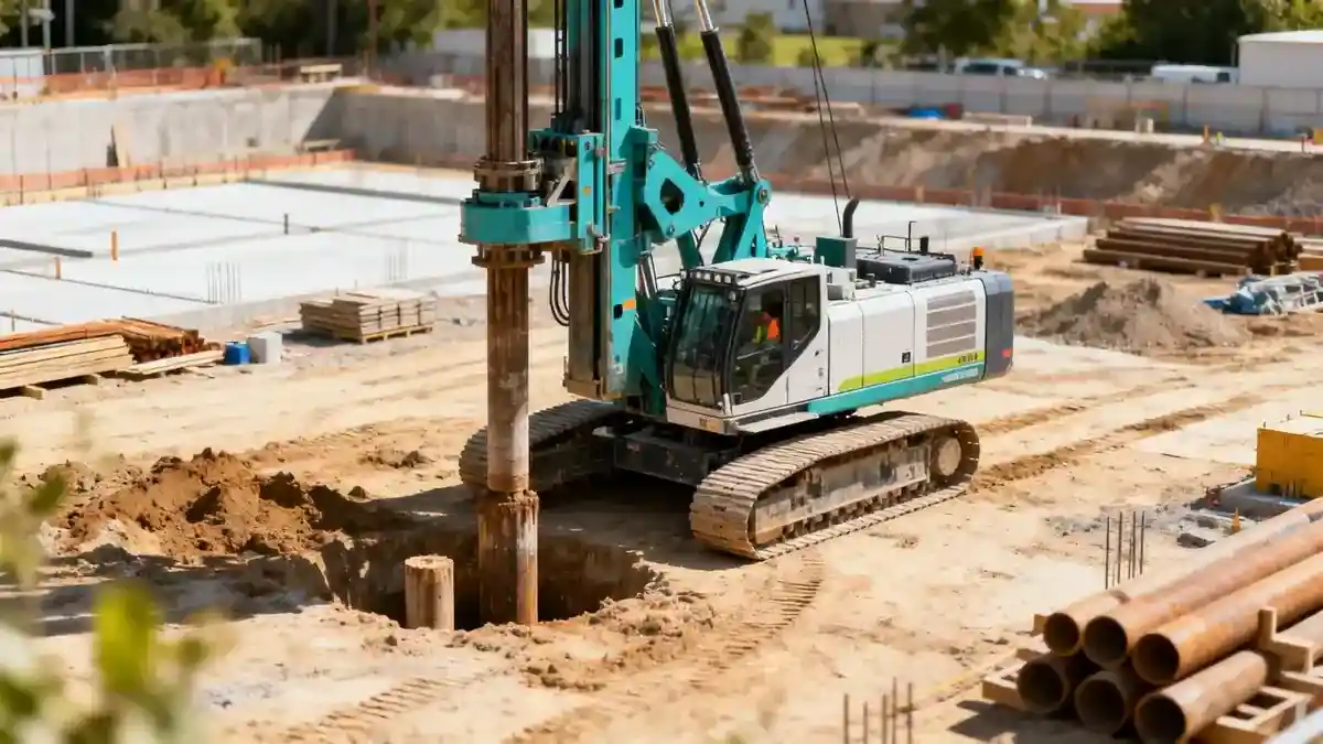
Our methodology for geotechnical engineering in Blenheim follows a systematic process aligned with industry standards. We begin with a desktop study of geological maps and historical data to identify potential hazards. Field investigations include spt boring to obtain soil samples and measure resistance at depth, complemented by cone penetration tests and test pits for shallow strata. Laboratory testing on recovered samples determines index properties, strength, and consolidation characteristics. All fieldwork adheres to ASTM D1586 for SPT procedures. Data analysis integrates these results to develop a geotechnical model that informs foundation design, slope stability, and seismic assessments, ensuring compliance with local regulations.
Reference Technical Parameters
| Parameter | Reference Value |
|---|---|
| Predominant soil type | Alluvial silts and sands with gravel lenses |
| Maximum seismic acceleration (PGA) | 0.4g (NZS 1170.5) |
| Typical groundwater level | 1.5–3.0 m below ground surface |
| Bedrock depth | 10–30 m (greywacke) |
| Typical N60 range | 5–30 blows/300 mm |
Local Considerations — Blenheim
Blenheim lies on the Wairau Plains, underlain by alluvial deposits from the Wairau River. The soil profile typically consists of interbedded silts, sands, and gravels, with variable groundwater levels influenced by irrigation and seasonal rainfall. Seismic hazard is significant due to proximity to the Alpine Fault and local faults like the Wairau Fault, requiring site-specific response analyses per NZS 1170.5. Older river terraces in the south and west offer firmer ground, while central areas near the river may have softer soils. Common projects include vineyards (shallow foundations for trellises) and residential subdivisions, where liquefaction potential must be evaluated. Our soil mechanics laboratory provides detailed testing to support these assessments.
Request a Quote
Our team reviews your project and issues an initial report at no cost.
Or write us directly at [email protected]
Services in Blenheim
Applicable Standards
- NZS 1170.5:2004 Structural design actions – Earthquake actions
- NZS 3604:2011 Timber-framed buildings
- ASTM D1586 Standard Test Method for Standard Penetration Test (SPT)
- NZS 4431:1989 Code of practice for earth fill
- Eurocode 7 (BS EN 1997) for geotechnical design
Frequently Asked Questions
What types of soil are commonly found in Blenheim?
Blenheim's soils are predominantly alluvial silts, sands, and gravels deposited by the Wairau River. These deposits vary in density and depth, with occasional peat layers in low-lying areas. Understanding the local soil stratigraphy is essential for foundation design and seismic hazard assessment.
How does the seismic hazard in Blenheim affect geotechnical design?
Blenheim experiences high seismic hazard due to the Alpine Fault and other active faults. Geotechnical designs must account for peak ground accelerations up to 0.4g, potential liquefaction in saturated sandy soils, and lateral spreading. Site-specific response analyses are often required to ensure compliance with NZS 1170.5.
Are geotechnical investigations mandatory for construction in Blenheim?
While not always mandatory for minor works, geotechnical investigations are strongly recommended and often required by local councils for subdivisions and commercial buildings. They provide critical data on soil bearing capacity, groundwater conditions, and seismic hazards, reducing risk and ensuring structural safety.